
The RAPA honors Roald Amundsen by translating the geography of his life into a practical modern award list for radio amateurs. The list follows his birthplaces, homes, departure ports, overwintering bases, Arctic islands, Russian coastal sectors, Antarctic route zones, and the decisive South Pole trail.
Qualification is based on the defined RAPA territory table below. In several polar areas, especially Antarctica and the high Arctic, a single valid amateur prefix may cover more than one geographic territory. For that reason, award credit is determined by the RAPA territory reference code in the applicant’s ADIF file, not by prefix uniqueness alone.
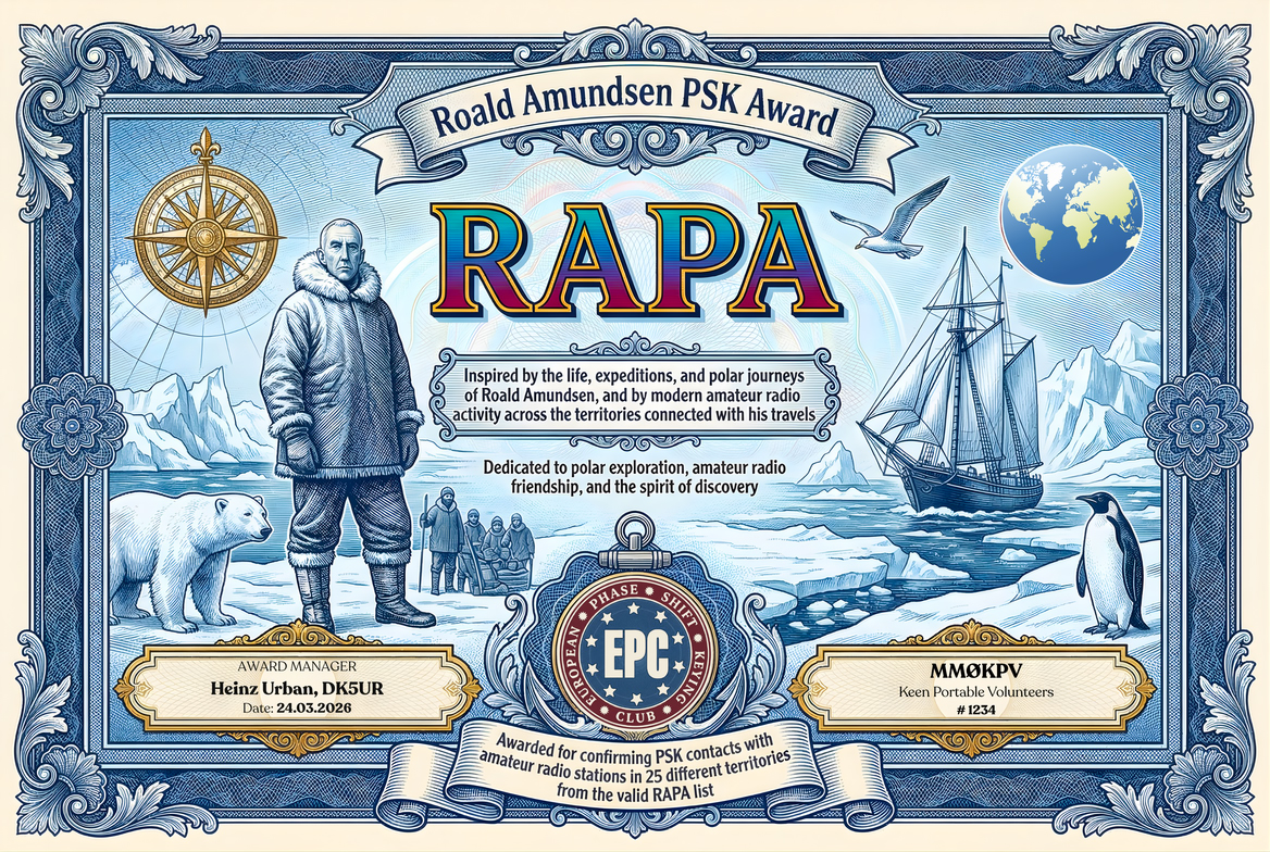
To qualify, the applicant must submit an ADIF log showing PSK QSOs with amateur radio stations from any 25 different valid RAPA territories out of the 58 territories listed below. It is a mandatory requirement that each claimed QSO carries the matching territory reference in the COMMENT field, for example #RAPA RA-01 ... #RAPA RA-58.
Special emphasis: RA-49 South Pole is explicitly included as a valid RAPA territory and is one of the centerpiece references of the award.
- The RAPA may be claimed by any licensed radio amateur, club station, or eligible SWL / DMS operator under the applicable EPC general rules.
- All operation must comply with the operator’s licence conditions and the relevant award framework.
- The applicant must provide evidence of having contacted amateur radio stations from any 25 different valid RAPA territories listed in the table below.
- The valid list contains 58 territories in total.
- Each territory counts only once toward qualification.
- Contacts must be documented in ADIF format.
- It is a mandatory requirement that the applicant adds territory references in the COMMENT field of the ADIF file in the format #RAPA RA-01 ... #RAPA RA-58, so that award processing software can identify the claimed territory correctly.
- Only PSK contacts are valid for this award.
- Any PSK variant and any baud rate may be used.
- Credit is valid on amateur bands below 54 MHz.
- Mixed-band submissions are permitted.
- This award is based on a defined RAPA territory list rather than a single DXCC-entity requirement.
- The list combines modern administrative units, islands, archipelagos, peninsulas and polar geographic sectors that are materially connected to Roald Amundsen’s life or expeditions.
- In Antarctica and the high Arctic, several different RAPA territories may legitimately share the same operating prefix. In such cases, qualification is based on the RAPA code shown below.
- The prefix shown in the table is the practical award prefix reference. The displayed notation follows the user preference of writing Ø instead of numerical zero in prefixes such as VYØ, RØA and 3YØ.
| Prefix | Territory | RAPA Code | Modern Type | How it relates to Roald Amundsen |
|---|---|---|---|---|
| LA | Østfold, Norway | RA-01 | County | Birth region: Amundsen was born at Borge in today’s Østfold, the starting point of his life story. |
| LA | Oslo, Norway | RA-02 | County / capital city | He grew up in Oslo and the city remained one of his principal departure and return points. |
| LA | Akershus, Norway | RA-03 | County | Amundsen lived for many years at Uranienborg in Svartskog, now in Nordre Follo, Akershus. |
| LA | Vestfold, Norway | RA-04 | County | Horten in Vestfold was a key fitting-out and departure point for the Fram before the South Pole expedition. |
| LA | Vestland, Norway | RA-05 | County | Bergen was one of the documented ports used on the outward Fram voyage in 1910. |
| LA | Agder, Norway | RA-06 | County | Kristiansand on the southern coast was another recorded Fram stop before Amundsen turned south. |
| LA | Troms, Norway | RA-07 | County | Tromsø was the departure point for Amundsen’s final 1928 rescue flight. |
| LA | Finnmark, Norway | RA-08 | County | Vardø and Vadsø were both important to the Maud and Norge expeditions in the far northeast of Norway. |
| JW | Svalbard, Norway | RA-09 | Archipelago | Svalbard was Amundsen’s high-Arctic springboard for the 1925 flying-boat attempt and the 1926 Norge flight. |
| JW | Spitsbergen, Svalbard | RA-10 | Island | Ny-Ålesund on Spitsbergen served as his operational base for both major polar-air expeditions. |
| ON | Antwerp Province, Belgium | RA-11 | Province | The Belgica expedition, Amundsen’s first Antarctic venture, sailed from Antwerp. |
| CT3 | Madeira Island, Portugal | RA-12 | Island / autonomous region | Funchal on Madeira was a documented Belgica port of call, and Madeira also appeared on later oceanic routing. |
| PY1 | Rio de Janeiro, Brazil | RA-13 | State | Rio de Janeiro was a Belgica port of call on the outward voyage to the south. |
| CX-A | Montevideo, Uruguay | RA-14 | Department | Montevideo was another documented Belgica stop before the Strait of Magellan. |
| CE8 | Magallanes Province, Chile | RA-15 | Province | Punta Arenas in Magallanes was the last major South American staging point before Belgica entered Antarctic waters. |
| OX | Qeqertalik / Disko Island, Greenland | RA-16 | Municipality / island | Godhavn on Disko Island was one of the Gjøa expedition’s North Atlantic–Arctic staging points. |
| VYØ | Beechey Island, Nunavut, Canada | RA-17 | Island | Beechey Island marks the entrance sector of the Northwest Passage route Amundsen used with Gjøa. |
| VYØ | Boothia Peninsula, Nunavut, Canada | RA-18 | Peninsula | From the Gjoa Haven base, Amundsen sledged toward the North Magnetic Pole across the Boothia region. |
| VYØ | King William Island, Nunavut, Canada | RA-19 | Island | Amundsen overwintered twice at Gjoa Haven on King William Island during the successful Northwest Passage expedition. |
| VY1 | Yukon, Canada | RA-20 | Territory | The Gjøa expedition wintered in the Yukon coastal sector after clearing the western Arctic. |
| VY1 | Herschel Island, Yukon, Canada | RA-21 | Island | Herschel Island was part of the western Arctic area where Gjøa wintered in 1905–06. |
| KL7 | Southeast Fairbanks Census Area, Alaska, USA | RA-22 | Census area | Eagle in the Alaska interior was reached during Amundsen’s overland dash to send news of the Northwest Passage success. |
| KL7 | North Slope Borough, Alaska, USA | RA-23 | Borough | Wainwright and Point Hope in the North Slope sector were used during the Maud years and Amundsen’s air plans. |
| KL7 | Nome Census Area, Alaska, USA | RA-24 | Census area | Nome and Teller were important Alaska endpoints in the Maud and Norge period. |
| K7 | Washington, USA | RA-25 | State | Seattle became one of the logistical centers of the later Maud expedition. |
| K2 | New York, USA | RA-26 | State | Amundsen bought aircraft in New York during preparations for his polar aviation phase. |
| K3 | Pennsylvania, USA | RA-27 | Commonwealth / state | His attempted 1922 transcontinental flight from New York toward Seattle ended with a crash in Pennsylvania. |
| LU-A | Autonomous City of Buenos Aires, Argentina | RA-28 | Autonomous city | Buenos Aires was a major South Atlantic port connected with Fram after the South Pole expedition. |
| VK7 | Tasmania, Australia | RA-29 | State / island | Hobart, Tasmania was the first great public stop after Amundsen’s South Pole success. |
| RØB | Dikson Island, Krasnoyarsk Krai, Russia | RA-30 | Island | The Maud passed through northern Siberia and used Dikson, in today’s Krasnoyarsk Krai, as a telegraph and supply point. |
| RØB | Taymyr Peninsula / Cape Chelyuskin, Russia | RA-31 | Peninsula / cape | Maud was stopped by the ice just east of Cape Chelyuskin and remained there for a full year. |
| RØK | Chukotka Autonomous Okrug – mainland, Russia | RA-32 | Autonomous okrug | East Cape and the Chukotka mainland were central landmarks during the eastern Arctic phase of the Maud expedition. |
| RØK | Ayon Island, Chukotka, Russia | RA-33 | Island | Ayon Island belongs to the Chukotka sector repeatedly referenced in the eastern Arctic drift years. |
| R1C | Leningrad Oblast, Russia | RA-34 | Oblast | Gatchina, near Leningrad, was one of the airship Norge ferry-flight stops on the way north. |
| IKØ | Lazio, Italy | RA-35 | Region | Ciampino near Rome was where the airship Norge was prepared and ceremonially renamed. |
| G | Norfolk, England | RA-36 | Ceremonial county | Pulham in Norfolk was one of the documented ferry-flight mooring points for Norge. |
| VP8 | Antarctic Peninsula mainland | RA-37 | Polar region | Amundsen’s first Antarctic experience with Belgica took him into the Antarctic Peninsula sector. |
| VP8 | Gerlache Strait sector, Antarctica | RA-38 | Strait / regional sector | Belgica worked in the waters of the Gerlache Strait, one of the defining geographic zones of the expedition. |
| VP8 | Wiencke Island, Antarctica | RA-39 | Island | Wiencke Island belongs to the Belgica exploration area off the Antarctic Peninsula. |
| VP8 | Palmer Archipelago, Antarctica | RA-40 | Archipelago | The Belgica voyage moved through the peninsula–archipelago zone now commonly administered in radio awards as a separate Antarctic territory. |
| VP8 | Biscoe Islands, Antarctica | RA-41 | Islands | These islands represent the wider western-peninsula island belt associated with Amundsen’s Belgica route sector. |
| CE9 | Ellsworth Land, Antarctica | RA-42 | Polar land sector | This major western Antarctic sector helps cover the wider Amundsen Antarctic theatre beyond the peninsula island belt. |
| 3YØ | Queen Maud Land, Antarctica | RA-43 | Polar land sector | Named for the Norwegian queen, Queen Maud Land links directly to Norway’s Antarctic tradition and to Amundsen’s south-polar achievement. |
| KC4 | Bay of Whales, Antarctica | RA-44 | Bay / coastal ice front | Framheim, Amundsen’s base for the South Pole assault, was built at the Bay of Whales. |
| KC4 | Ross Ice Shelf, Antarctica | RA-45 | Ice shelf | Amundsen’s route from Framheim began across the Ross Ice Shelf, then widely known as the Great Ice Barrier. |
| KC4 | Axel Heiberg Glacier, Antarctica | RA-46 | Glacier | This glacier was the crucial route Amundsen discovered and used to climb from the barrier to the polar plateau. |
| KC4 | Queen Maud Mountains, Antarctica | RA-47 | Mountain range | The Axel Heiberg route cuts into the Queen Maud Mountains on the way to the Antarctic interior. |
| KC4 | Polar Plateau, Antarctica | RA-48 | Polar plateau | After climbing the glacier, Amundsen’s party crossed the high polar plateau toward the Pole. |
| KC4 | South Pole, Antarctica | RA-49 | Geographic pole | This is the key RAPA territory: Amundsen reached the Geographic South Pole on 14 December 1911. |
| KC4 | Marie Byrd Land, Antarctica | RA-50 | Polar land sector | The Ross Sea approach used by Fram belongs to the wider Marie Byrd Land / eastern Ross embayment side of West Antarctica. |
| ZL5 | Roosevelt Island, Antarctica | RA-51 | Island | Roosevelt Island stands within the eastern Ross Ice Shelf system adjoining the Bay of Whales approach. |
| ZL5 | Ross Island, Antarctica | RA-52 | Island | Ross Island is part of the Ross-region geography central to the Antarctic campaigns that framed Amundsen’s South Pole story. |
| VP8 | Adelaide Island, Antarctica | RA-53 | Island | Adelaide Island represents the southwestern Antarctic Peninsula island arc that belongs to Amundsen’s Belgica Antarctic sphere. |
| KC4 | Anvers Island, Antarctica | RA-54 | Island | Anvers Island, home to modern Palmer Station, lies in the same peninsula expedition zone explored in Amundsen’s first Antarctic years. |
| OLØ | James Ross Island, Antarctica | RA-55 | Island | James Ross Island covers the northeastern peninsula sector tied to the broader Belgica theater. |
| 3Y | Peter I Island, Antarctica | RA-56 | Island | Peter I Island was later named in the Norwegian Antarctic tradition closely linked to Amundsen’s era of polar exploration. |
| CE9 | King George Island, South Shetlands, Antarctica | RA-57 | Island | King George Island stands in the South Shetland gateway through which Antarctic expeditions, including the Belgica approach region, entered the peninsula zone. |
| ED8 | Deception Island, South Shetlands, Antarctica | RA-58 | Island | Deception Island is a standard South Shetland regional award unit and belongs to the same Antarctic gateway sector relevant to Amundsen’s first southern voyage. |
Note: Qualification for the RAPA is based only on working 25 different territories from the valid RAPA list above. The title honors Roald Amundsen and the full geography of his life: home counties, expedition ports, Arctic wintering territories, Russian coastal sectors, Antarctic route zones, the Ross Ice Shelf trail, and the South Pole itself.
